LOADING...
PLUMP SPACE.
UCLA. WITH REZA AGHABABA. 2007.



|
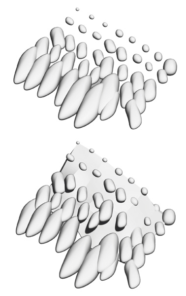
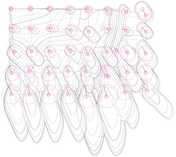
Defining a landscape through unconventional means. This study uses a grid
of balloons, all floated to the same height, in order to create a 'zero' datum.
Measuring their height from grade, this data was used to create a surface
model of the terrain. An additional sub-surface layer was interpreted to inform
the model of the surface qualities: landscape, hardscape and density. The data collected was careful to follow the order of devices placed, the path taken to places the, and the approximate movement of the balloons in the air. This data was then used to manipulate the surveyed surface and create a new, modified surface hybrid. All collected information was used in the modeling technique to apply the transformative elements and develop new forms by 'plumping' the balloons. |
|
|